

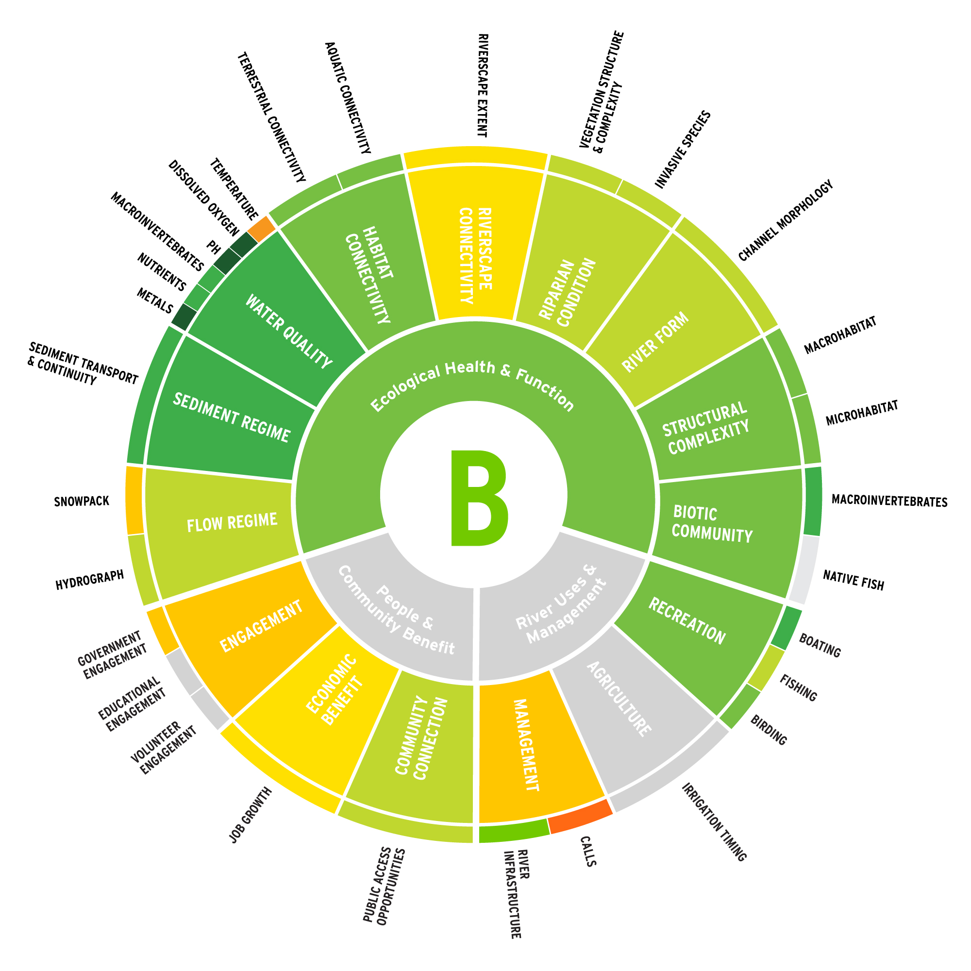
see the score breakdown
“Hydrology” has been happening in the Yampa River Basin for thousands of years! The term “paleohydrology” is the scientific study of the movement, distribution, and quality of water on Earth during previous periods of history and reminds us to put these data into perspective.
Rivers are naturally dynamic and bank stabilization efforts can often push the problem downstream.
For a deeper understanding of the energy of the river, click on the indicator.
Water quality in streams and rivers across Colorado is regulated by the Colorado Department of Public Health and Safety (CDPHE). Within CDPHE, the Water Quality Control Division (WQCD) monitors and reports on the quality of state waters to prevent water pollution and protect and restore Colorado’s water quality for public health, the environment, and future generations. Water quality standards for metals, nutrients, and physical parameters describe the desired condition of a waterbody and the levels of constituents in the water required to achieve a particular designated use, such as recreation, water supply, aquatic life, and agriculture. Colorado is authorized by the EPA to establish water quality standards, which form the legal basis for controlling pollutants entering waterways.
Side channels and split flows are commonly found along the Yampa River and are an important indicator of ecological health. They are calm, slower-flowing areas of water that give fish and other aquatic species a place to rest away from the higher energy water in the main channel. These secondary channels are especially important as spawning grounds and nurseries for native fish species. These river features are considered when assessing both aquatic connectivity and structural complexity of the river.
When a river is connected to its floodplain, water returns to the river more slowly, extending the flow into drier months, when farmers and ranchers most need it. Where floodplain connectivity is high, seasonal floods can spread out and dissipate their energy before causing too much damage. Additionally, there is evidence to support the claim that connected floodplains are more resilient to wildfires and even contribute to increased precipitation!
Riparian habitat includes the trees, shrubs, and vegetation growing alongside the river.
Riparian vegetation:
- • provides bank stability and reduces erosion
- • acts as a source of large wood into the river
- • filters pollutants from runoff
- • shades and cools the water
- • reduces the impact of flooding by dissipating floodwater energy
- • provides food, cover, and nesting habitat for a diverse array of wildlife.
Channel morphology is not just determined by hydrology and geology, but biology as well!
Plants and animals big and small can actually be drivers of the physical form of a stream (Castro and Thorne, 2019).
For example, riparian vegetation tends to have a stabilizing effect on channel morphology. Beaver change streams by increasing the channel complexity and amount of fine sediment deposition. Amazingly, macroinvertebrates such as caddisfly can be drivers of channel morphology because they reduce the mobility of the sediments along the riverbed. Conversely, macroinvertebrates and fish can also serve to increase bed mobility, due to the disturbance that results when fish forage for a macroinvertebrate meal!
Beaver increase habitat complexity and therefore support biodiversity, but beavers do not eat fish! In fact, they cut trees to form dams and lodges but eat the tree bark or the softer layers of wood underneath, called the cambium layer. Beaver are herbivores that also eat leaves, woody stems and aquatic plants. In the winter, beaver eat from a cache of branches submerged beneath the ice on the muddy pond floor. The cold water keeps the stems fresh and preserves the nutrients.
Macroinvertebrates are amazing little creatures that support a huge food web and can tell us a lot about the water quality of a river. Historically, information on these small animals has been collected irregularly, and there are large gaps in the data set. Through the Yampa River Scorecard Project, Friends of the Yampa is working with local and state partners like Colorado River Watch to fill in the gaps and become a source of ongoing, long-term information about the benthic macroinvertebrate communities in the Yampa River.
Yampa River users float through a mixture of public and private lands. All river users must exercise the highest level of river etiquette with regard to private property rights. In Colorado, private property laws dictate that river users may not step ashore or touch the bottom of the river while floating through private property. Yampa River State Park has attempted to mark the river with red (private land/no access) and blue (public land/access allowed) signage along the river banks. A good map or GPS-friendly app can help ensure an understanding of property ownership as well.
It is difficult to measure how agricultural use of water in the river changes over time in a way that is meaningful to the agricultural community. In this instance, the score is determined by comparing the 5-year average length of irrigation season to the period-of-record average length of irrigation season.
The result is that when the 5-year average length of irrigation season is greater than the historical average, the score is greater than 100% and therefore an “A.” Is a longer than average irrigation season better? Does this tell us more water was available for longer, or that more water was needed for longer?
We would like to refine this metric for next year, and welcome input from community stakeholders. If you have ideas or expertise and would like to help, please contact jenny@friendsoftheyampa.com.
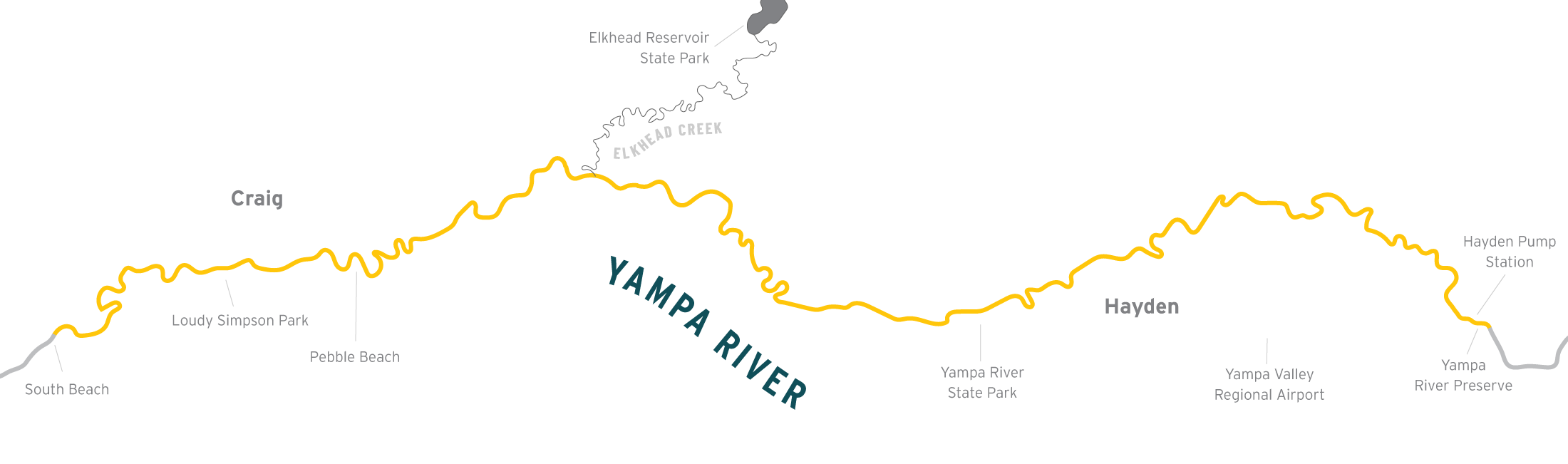
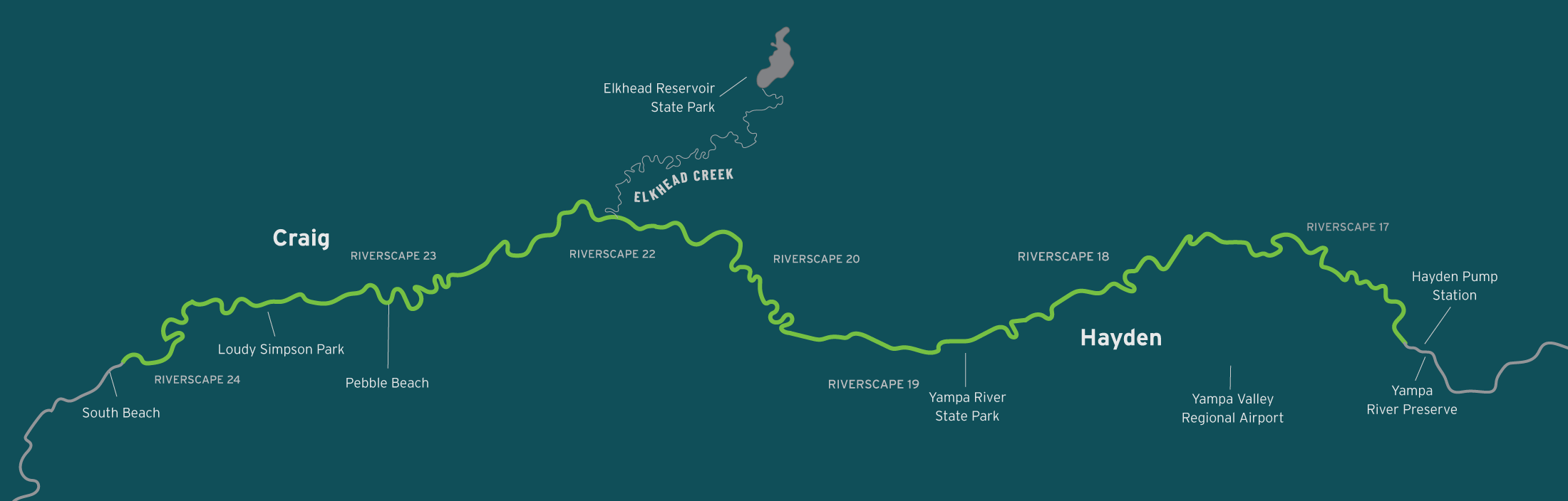
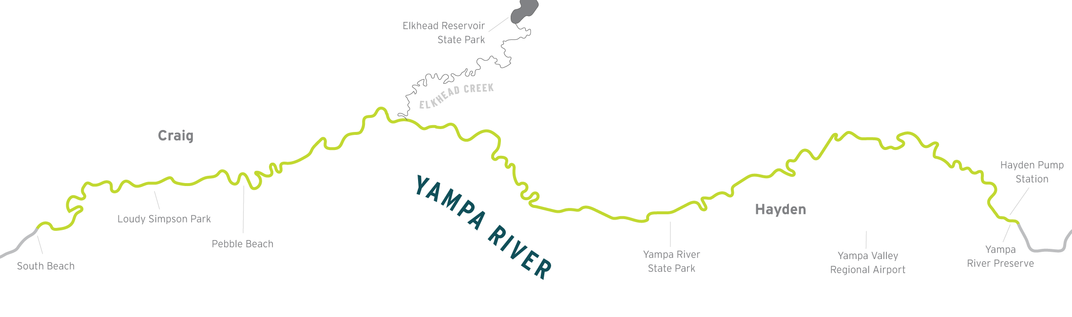
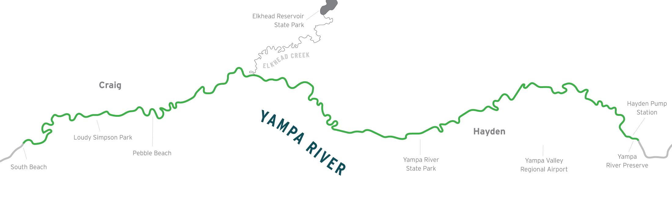
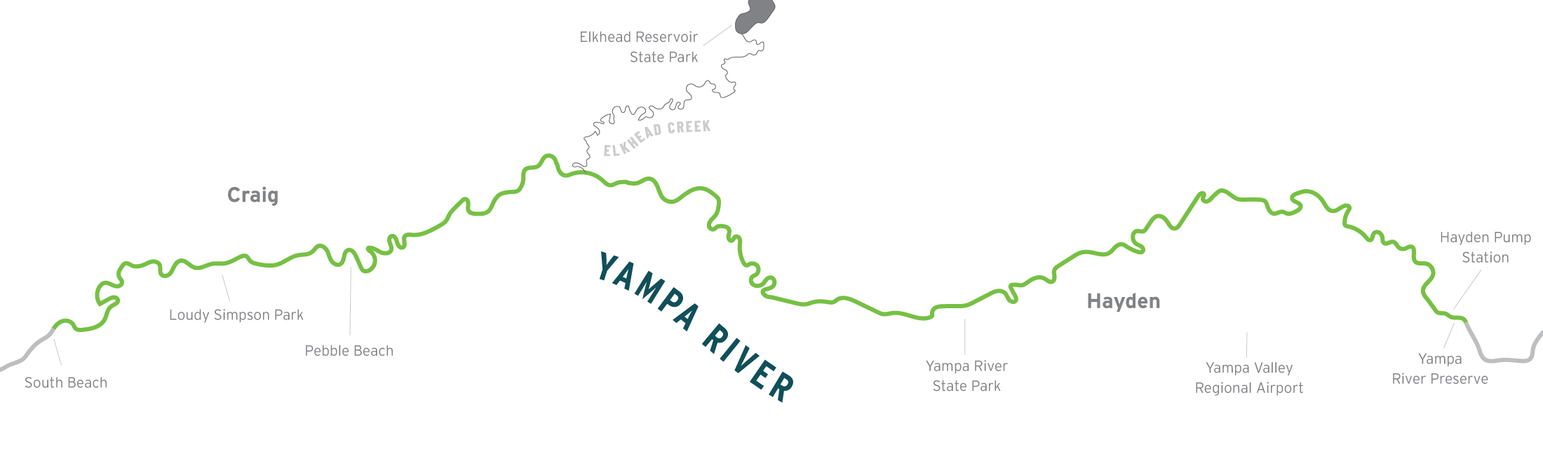
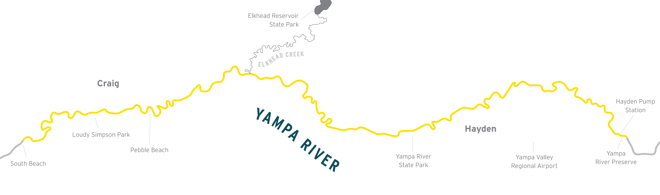
Did you know? The Yampa River below the Elkhead Creek confluence has an instream flow right for water to be delivered from Elkhead Reservoir to downstream reaches for the benefit of endangered native fish species in accordance with the Programmatic Biological Opinion for the Management Plan for Endangered Fishes in the Yampa River Basin.
In 2022, the city of Craig was awarded a $3.3 million Economic Development Administration Assistance to Coal Communities Grant for construction of the Yampa River Corridor Project.
The project is the result of a multi-year planning process with local agencies designed to stabilize and diversify the economy in Craig and Moffat County after the expected closure of the coal mines and power plant by 2030. (Steamboat Pilot, 2022) The park system along the Yampa River is expected to be completed by the end of 2024.
Colorado Mountain College, Friends of the Yampa, and Colorado State University have teamed up to offer a Yampa River Ecology field course, and it is open to community members! This field course occurs each June for two weeks during spring runoff. Find out more about the summer 2023 course, entitled “Special Topics” with the course code “SUS-2075-SB01” at https://coloradomtn.edu/classes/.
Colorado Parks and Wildlife has developed this brochure to help visitors use this valuable resource of the Yampa River Yampa River responsibly: